
Historic ports
Kilwa Kisiwani: Swahili port and Indian Ocean entrepôt
Kilwa Kisiwani became one of the most prosperous medieval towns on the Swahili Coast. Its coral-stone architecture, mosques, imported ceramics and connection with southern African gold networks reveal an African port deeply integrated into Indian Ocean commerce.
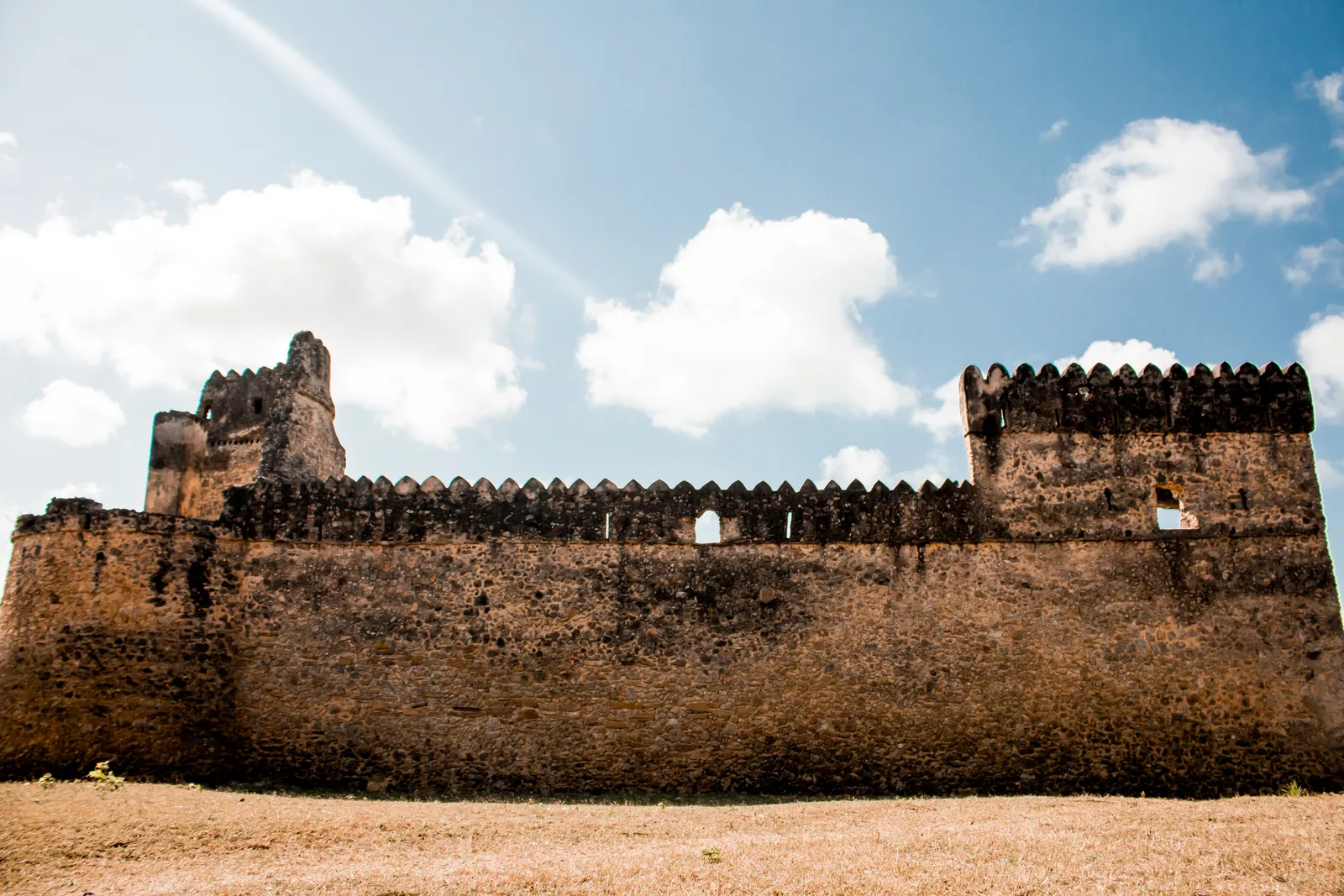
An island setting offered security and maritime access
Kilwa occupied an island just off the Tanzanian coast, allowing ships to approach a protected settlement while the town remained connected to mainland supply and inland routes.
Its position made sense within coastal navigation where islands, reefs and channels structured local pilotage.
Gold connected Kilwa with the African interior
Kilwa became associated with gold moving through trade systems linked to the Zimbabwe plateau and other southern African regions. The port itself did not mine the gold; merchants and intermediaries connected inland production with the coast.
This inland relationship is central to understanding the town’s wealth. Indian Ocean commerce depended on African economic networks extending hundreds of kilometres from the sea.
Coral architecture records commercial prosperity
The Great Mosque, palatial structures such as Husuni Kubwa and numerous stone houses demonstrate significant investment in urban construction. Coral rag and lime mortar created a distinctive coastal architectural tradition.
Embedded imported ceramics and other objects also reveal the cultural prestige associated with overseas goods.
Islam connected Kilwa with a wider religious world
Kilwa’s mosques and Muslim identity linked the town with communities across the western Indian Ocean. Religious practice developed locally while participating in a broader Islamic intellectual and commercial sphere.
Arabic-script inscriptions and coins provide evidence for rulers and exchange, but Swahili society remained rooted in East African language and culture.
Monsoon winds brought seasonal merchants
Ships from Arabia, the Gulf and India could use monsoon winds to reach East Africa and later depart when seasonal conditions reversed.
Merchants who remained for extended periods contributed to multilingual port communities and durable commercial relationships.
Chinese and Islamic ceramics reveal redistribution
Imported pottery from the Islamic world and China has been found at Kilwa and other Swahili sites. These objects demonstrate access to far-reaching trade networks.
They do not mean that every Chinese object arrived aboard a Chinese ship. Goods commonly passed through several entrepôts before reaching East Africa.
Portuguese intervention altered the balance of power
Portuguese fleets entered the western Indian Ocean at the end of the fifteenth century and attempted to force coastal towns into new tribute and commercial arrangements. Kilwa was occupied and its political system disrupted.
The episode changed regional power but did not erase Swahili commerce or the coast’s older maritime traditions.
UNESCO recognition reflects more than monumental ruins
Kilwa and nearby Songo Mnara preserve evidence for urban life, religion, trade and social organization over centuries. Their significance lies in the integration of African coastal society with global maritime exchange.
The site provides a powerful corrective to any history that treats East Africa as peripheral to Indian Ocean commerce.
The harbour depended on a much larger hinterland
Kilwa Kisiwani and Swahili Trade worked because ships connected with systems beyond the shoreline. Cargo reached the waterfront by river, road, pack animal or smaller coastal craft, while imported goods moved inland through another chain of carriers and markets.
Food, water, timber, rope, labour and storage also had to be supplied continuously. Geography created opportunity, but inland access, merchant confidence and reliable provisioning determined whether traders returned.
Merchant communities made the waterfront function
Busy ports brought together local traders, visiting merchants, brokers, interpreters, pilots, dock workers, religious communities and officials. Seasonal waiting could turn a commercial stop into a long stay.
Authorities regulated customs and access, but merchants could redirect traffic toward rival ports when fees, conflict or interference became too costly.
Coastlines and commercial importance changed over time
The modern shoreline around Kilwa Kisiwani and Swahili Trade cannot simply be projected into the past. Rivers silt, channels migrate, storms alter sandbars and later construction can bury earlier waterfronts.
Political change mattered too. A harbour could prosper under several unrelated regimes or lose traffic when another port offered safer access and better commercial terms.