
North Atlantic routes
Viking North Atlantic routes
Norse voyages westward crossed one of the world’s most difficult sailing environments without modern charts, engines or electronic position fixing. Their success depended on clinker-built ships, island stepping stones, seasonal planning and generations of route knowledge.
The route expanded through a chain of islands
Norse sailors reached the Faroes, Iceland and Greenland before establishing a short-lived presence in North America. These destinations reduced one enormous Atlantic leap into several still-demanding passages.
Each leg required different local knowledge, and settlements created new bases from which later voyages could depart.
Iceland became a major maritime settlement
Settlement of Iceland in the late ninth century created a new Norse society dependent on sea links with Scandinavia and the British Isles. Ships carried people, livestock, timber and goods that the island could not easily produce itself.
Regular communication did not make the route safe. Weather and sea ice could delay or destroy voyages.
Greenland pushed Norse sailing farther west
Erik the Red’s settlement movement toward Greenland established communities that survived for centuries. Greenlandic Norse relied on farming, hunting and maritime trade, including exports such as walrus ivory.
The voyage from Iceland to Greenland crossed long open-water stretches where navigation errors could become serious.
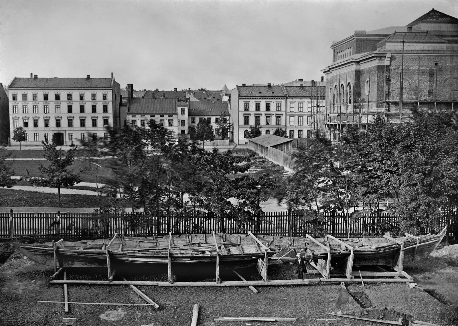
Knarrs were better suited to settlement cargo than longships
The famous longship was optimized for speed, shallow draft and military movement. Broader cargo vessels such as the knarr offered more useful capacity for livestock, supplies and trade goods.
This difference matters because settlement required moving an economy, not merely warriors.
Navigation relied on environmental observation
Norse sailors used knowledge of wind, Sun, stars, birds, sea colour and other environmental cues. Written sources preserve hints but not a complete navigational manual.
Claims about sunstones and specialized instruments remain debated and should not replace the better-supported role of experience and route knowledge.
Weather and sea ice shaped practical sailing seasons
North Atlantic storms, fog and cold water created severe risk. Sea ice around Greenland could restrict access, while changing climate conditions affected settlement and navigation over time.
Mariners therefore planned around seasons even though no season guaranteed safe passage.
L’Anse aux Meadows confirms Norse presence in North America
Archaeology at L’Anse aux Meadows in Newfoundland provides direct evidence for a Norse site in North America around the year 1000. The site confirms transatlantic reach beyond Greenland.
It does not support claims of permanent large-scale Norse colonization across North America. The evidence points to a limited presence connected with exploration and resource use.
Sagas preserve memory but require critical reading
The Greenland and Vinland sagas contain accounts of voyages, settlements and encounters. They were written down after the events they describe and combine historical memory with literary shaping.
Archaeology is therefore essential for testing saga geography and chronology.
Why the route matters
The Norse North Atlantic demonstrates how maritime migration can become repeatable even in a harsh environment when ships, settlements and route knowledge reinforce one another.
It also provides a useful comparison with Polynesian settlement. Both traditions achieved major open-ocean movement, but they solved very different environmental problems with different vessels and navigation systems.
Seasonality turned the route into a planning problem
Viking North Atlantic Routes was not a permanent line drawn across a modern map. Sailing choices changed with monsoon phases, prevailing winds, storms, currents, daylight, sea ice where relevant and vessel capability.
A geographically indirect route with dependable winds and trusted ports could be quicker and safer than the shortest line. Departure windows were broad, so merchants sometimes waited in port or diverted.
Goods and people usually moved through intermediaries
Cargo associated with Viking North Atlantic Routes did not necessarily remain on one ship from producer to consumer. Goods could reach a coastal market, cross one sea, be warehoused and resold, then continue aboard another vessel.
Merchants, pilgrims, envoys, sailors and migrants also joined and left vessels at intermediate ports. A distant imported object therefore does not automatically prove one direct voyage.
How historians reconstruct the route without false precision
Evidence for Viking North Atlantic Routes can include port archaeology, wreck cargoes, inscriptions, travel accounts, coins, ceramics and historical wind regimes. These rarely preserve one complete itinerary.
A route is better understood as a set of practical options within a maritime environment than as an ancient equivalent of a fixed shipping lane.